

The official website of
Chepping Wycombe Parish Council
Flackwell Heath Loudwater Tylers Green
The official website of
Chepping Wycombe Parish Council
Flackwell Heath Loudwater Tylers Green
Council Land
The Parish Council has responsibility ownership and/ or maintenance of land within the wards comprising the Parish of Chepping Wycombe. This section shows you where the land is located and provides more information about it.
Maps in this section
There are three interactive sections linked to this page. These feature Google maps. If you click on the panels below you will be taken to pages describing the wards of Flackwell Heath, Loudwater and Tylers Green. The sections show maps featuring CWPC controlled/ maintained land in each ward. Areas are marked in translucent blue and pin markers are also in blue to indicate where the areas are. Both pin markers and areas have been used because the areas will seem to disappear as the user zooms out. Click on an area or on the pin marker to find out more information on the locations.
Please carefully read the comments below on accuracy of these maps. At all times and without exception the accurate maps of the Parish are held and administered by the Parish Council.
Accuracy
The boundaries, areas and pin marker locations are accurate to +/- 50 metres. The maps shown below either in satellite view or in map view are for broad guidance only and do not represent accurate boundaries or loss/ gain of land for those bordering on these areas.
For accurate records of locations and boundaries for these and any other areas within the Parish please contact Chepping Wycombe Parish Council on 01494 814600 or through one of the methods on the Contact Us page.
Overlap
The Parish has been split into three maps to assist in presenting the information on a website and limiting the amount of information on each map. If you are looking for something please check across all three maps. If something is missing then please contact the Parish Council.
Byelaws
Byelaws are in force on all council owned land.
Council Land – owned or maintained
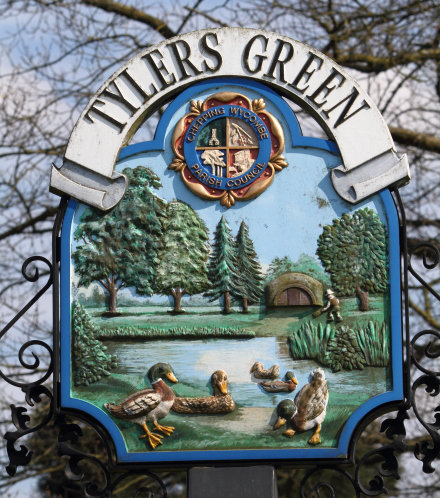
You may view the different areas in the parish by clicking on the panels below. THis will take to a page which shows where the Council owns, jointly owns and/or maintains areas within the Parish:


Next: Committees